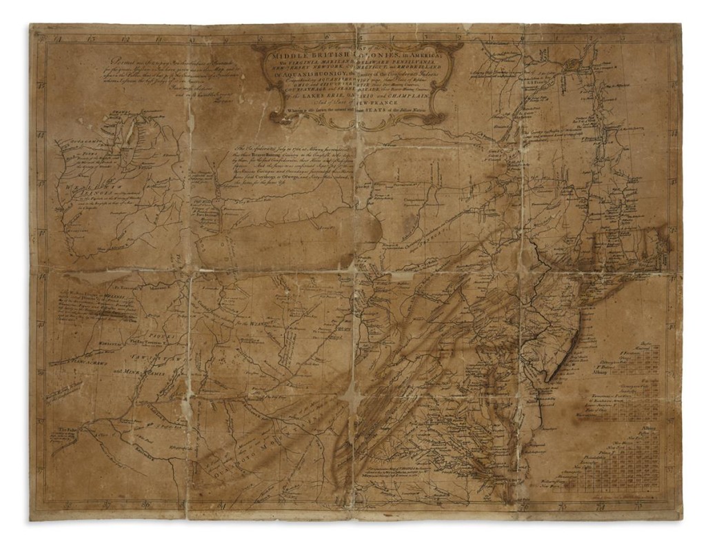
 NEW YORK CITY — Lewis Evans’ General Map of the Middle British Colonies In America, circa 1755, was one of the most significant and influential maps published in Colonial America, according to Swann Galleries, where the example sold for $125,000 in the firm’s June 6 sale. With his map, Evans set the stage for westward expansion as he included new and detailed information about the Ohio territory.
The full name of the map details its focus: A General Map of the Middle British Colonies, in America; viz Virginia, Mariland, Delaware Pensilvania, New-Jersey New-York, Connecticut, and Rhode Island of Aquanishuonigy, the Country of the Confederate Indians Comprehending Aquanishuonigy Proper, their Place of Residence, Ohio and Tiiuxsoxruntie Their Deer-Hunting Countries, Couxsaxrage and Skanidarade, Their Beaver-Hunting Countries; Of the Lakes Erie, Ontario and Champlain, and Part of New-France Wherein is Also Shewn the Antient and Present Seats of the Indian Nations.
The example sold at Swann was notable in that it was a working draft featuring Evans’ signature and the date May 2, 1755, which was a full 53 days before the final draft would be published. While most of the cartography was in place, lacking was the finishing details, including Evans’ own engraved name, the engraver Benjamin Turner’s name, cartouches and insets, tables, anecdotes and the publishing imprint.
For more information, 212-254-4710 or www.swanngalleries.com.


