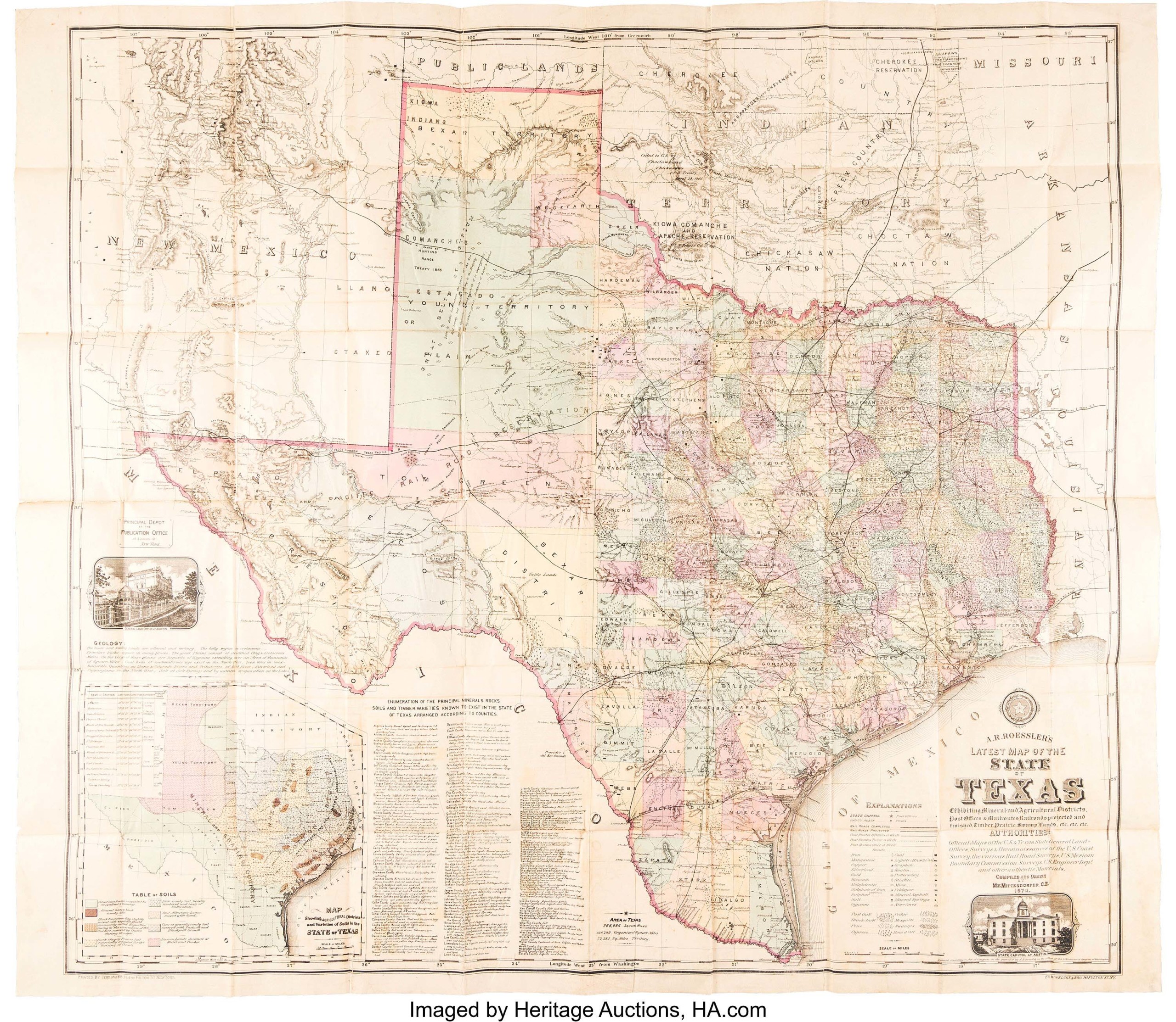
DALLAS — Leading Heritage Auctions’ April 5 historical manuscripts sale was A.R. Roessler’s Latest Map of the State of Texas Exhibiting Mineral and Agricultural Districts, Post Offices & Mailroutes, Railroads projected and finished, Timber, Prairie, Swamp Lands, etc. Completed and drawn in 1874 by Maximilian van Mittendorfer, the folding pocket map measured 44½ by 39¾ inches when fully opened and was housed in its original duodecimo dark green blindstamped cloth covers. The geological map was sold to a buyer for $30,000 with buyer’s premium. Other notable lots included letters, autographs from historical figures, documents and records and books. Further review of the auction’s results will be in an upcoming issue.


