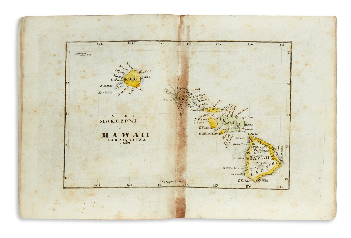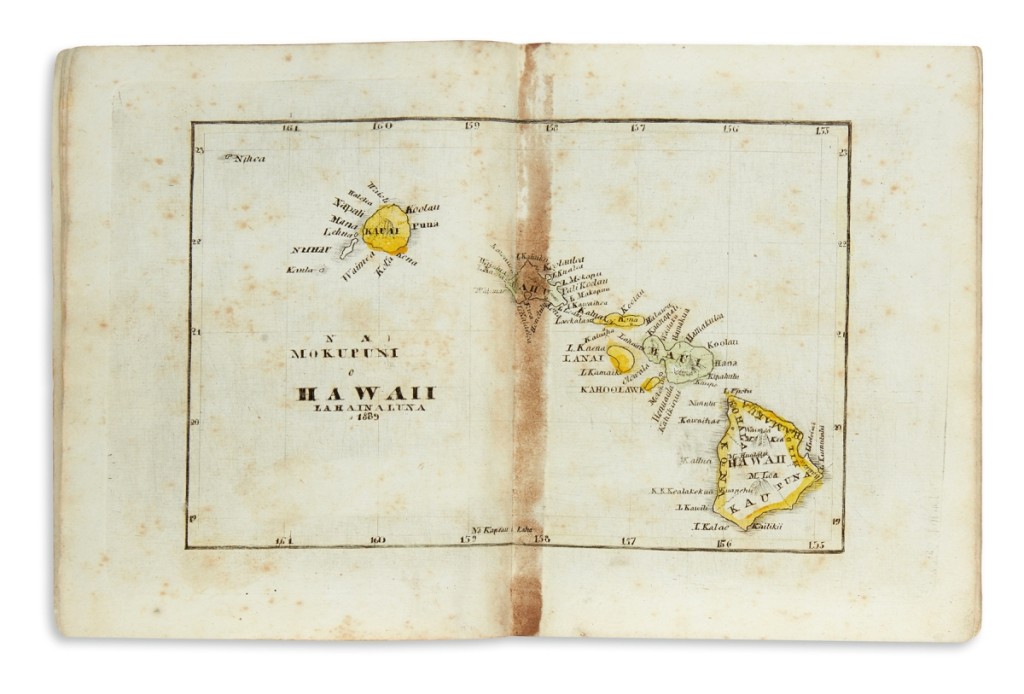
The sale was led by a rare 1840 Hawaiian-language school geography atlas printed by the Lahainaluna Seminary. Engraved by George Luther Kapeau, who would go on to become a statesman and governor of Hawaii, He Mau Palapala Aina A Me Na Niele No Ka Hoikehonua, No Na Kamalii, made its auction debut at $68,750.
Review by Anne Kugielsky, Photos Courtesy Swann Galleries
NEW YORK CITY – An early Hawaiian language school 16-page geography book with maps of the two hemispheres, Hawaii, North America, South America, Europe, Asia and Africa followed by brief text and geographical questions for the students was the top lot at Swann Galleries’ December 17 auction of maps and atlases. He Mau Palapala Aina A Me Na Niele No Ka Hoikehonua, No Na Kamalii, with engravings by George Luther Kapeau, Lahainaluna Seminary, 1840, sold for $68,750, well beyond its $2,5/3,500 estimate. The engraver, George Luther Kapeau, was a prolific student at Lahainaluna Seminary who would later become a statesman and governor of Hawaii. Caleb Kiffer, Swann Galleries’ specialist of maps and atlases, said he was sure it would sell well above its estimate, just not by how much. “There was considerable interest before the sale and two heavy-weight collectors of Hawaiiana were intent on winning the lot.” Kiffer could find no other copy in auction records and was able to locate fewer than ten institutional copies – making this a rare book indeed.
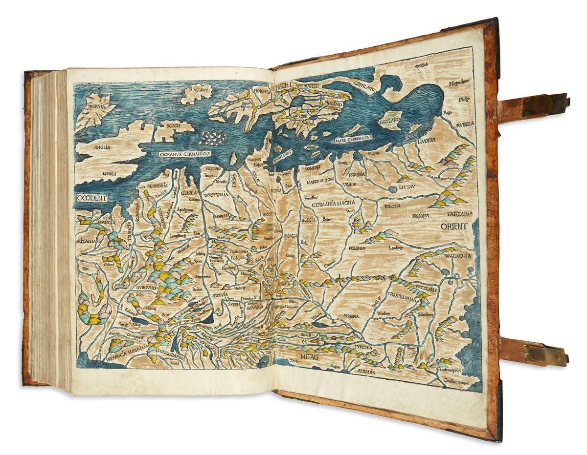
Coming to the block with an estimate of $30/40,000 was a 1493 Nuremberg chronicle filled with a profusion of woodcut diagrams, illustrations and city views (several over double-pages, including maps of the world and Europe, some hand colored). This handsome copy of Hartmann Schedel’s world history from Biblical creation to the time of its publication formed the cornerstone in an offering of biblical material. Liber Cronicarum cum Figuris et Ymaginibus ab Inicio Mundi, of which “no other illustrated book printed in the Fifteenth Century rivals its scope and ambition,” sold for $62,500.
A 1665 cartographically illustrated Bible printed in Basel, which featured six engraved hand colored folding maps, was won for $7,500.
Published some ten years after a copy in the Princeton library, Claudius Ptolemaeus, Geographicae Enarrationis Libri Octo, Lyons, 1535, has a woodcut title-page device, 50 woodcut maps (all but one double-page), and is 15 by 11 inches, in Twentieth Century vellum with gilt morocco spine labels; it sold at $27,500.
The book contains Ptolemaic geography supplemented with Sixteenth Century geographical knowledge translated into Latin by Wilibald Pirckheimer and edited by Michael Villanovanus (Servetus). The ornamental borders surrounding descriptive text on the verso of each map are attributed to Hans Holbein and Urs Graf.
An interesting aside is that in 1553, along with copies of this book, Servetus (the editor) was burned at the stake under charges of heresy for printing a passage (ultimately not written by him) relating to the fertility of the soil in Palestine on the verso of the 41st map. So, buyer beware!
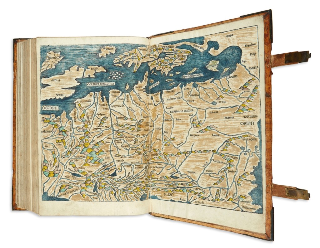
This 1493 Nuremberg chronicle was filled with a profusion of woodcut diagrams, illustrations and city views (several over double-page, including maps of the world and Europe, hand colored). Liber Cronicarum cum Figuris et Ymaginibus ab Inicio Mundi sold for $62,500.
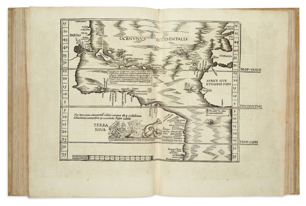
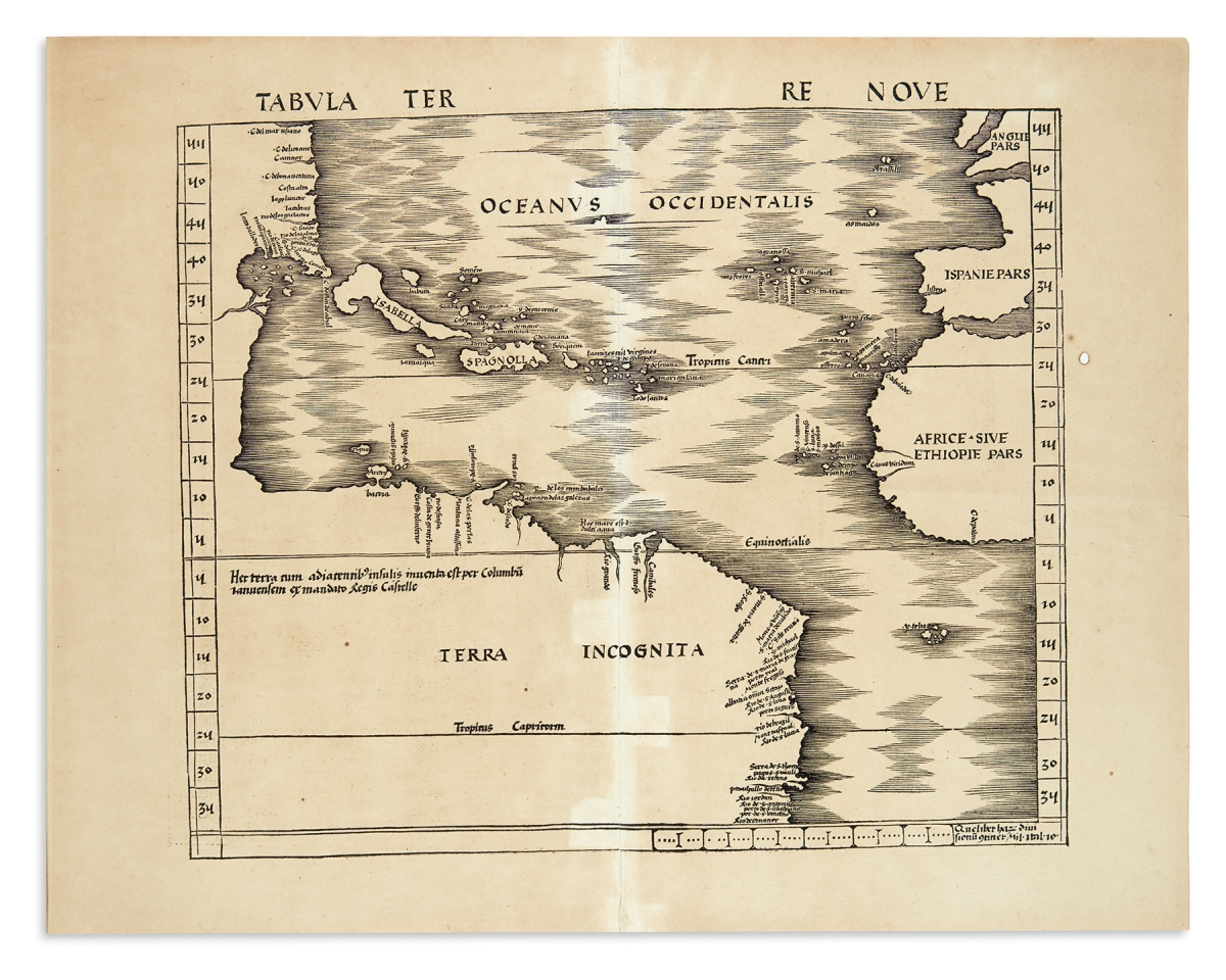
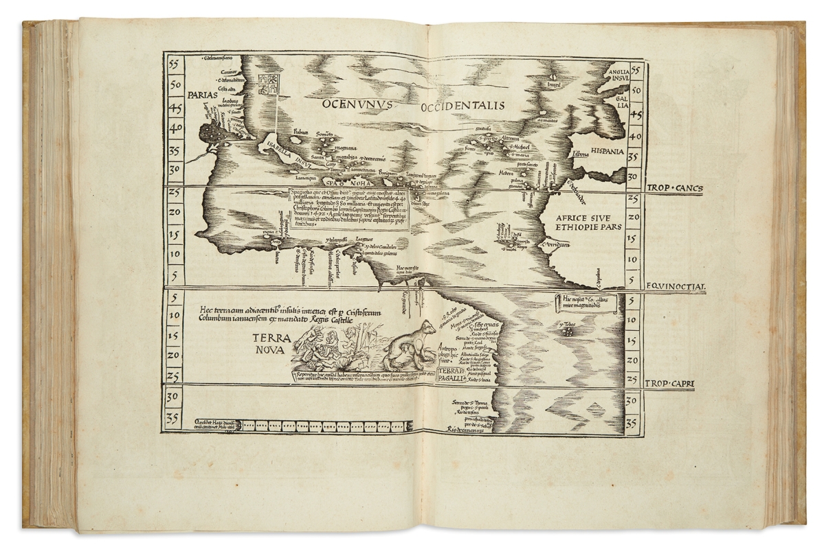
A Sixteenth Century publication, an Admiral’s Map mapping the Atlantic Ocean, published in Strasbourg in 1513, sold at $25,000. Martin Waldseemüller, Tabula Terre Nove, is a double-page woodcut map of the Atlantic Ocean with almost 20 place names along the North American coast which must have been primarily derived from unrecorded Spanish and Portuguese manuscript sources. The map is 17¾ by 22¾ inches, sheet size, with a nice patina according to Kiffer.
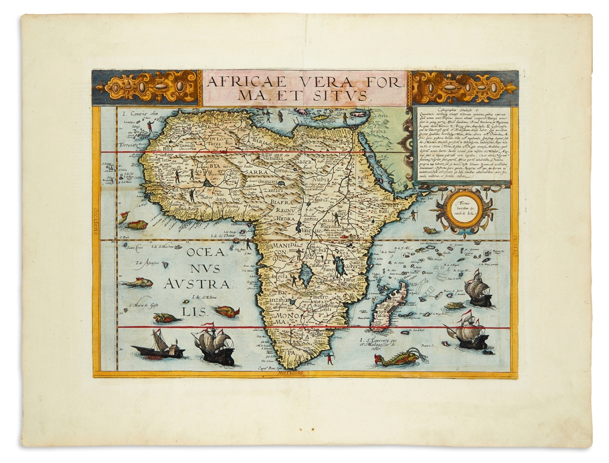
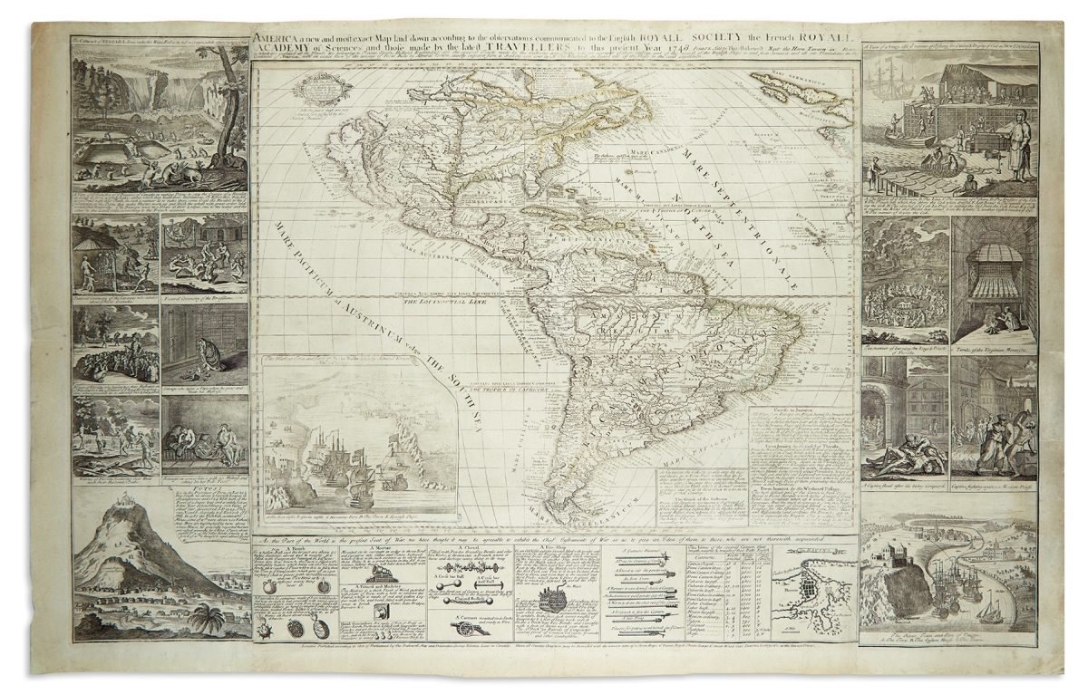
Other map highlights included America A New And Most Exact Map, London, a scarce 1748 map by Thomas Bakewell that sold at $11,875; and Africae Vera Forma, et Situs, Antwerp, 1593, with hand-coloring, by Cornelis de Jode, which realized $9,375.
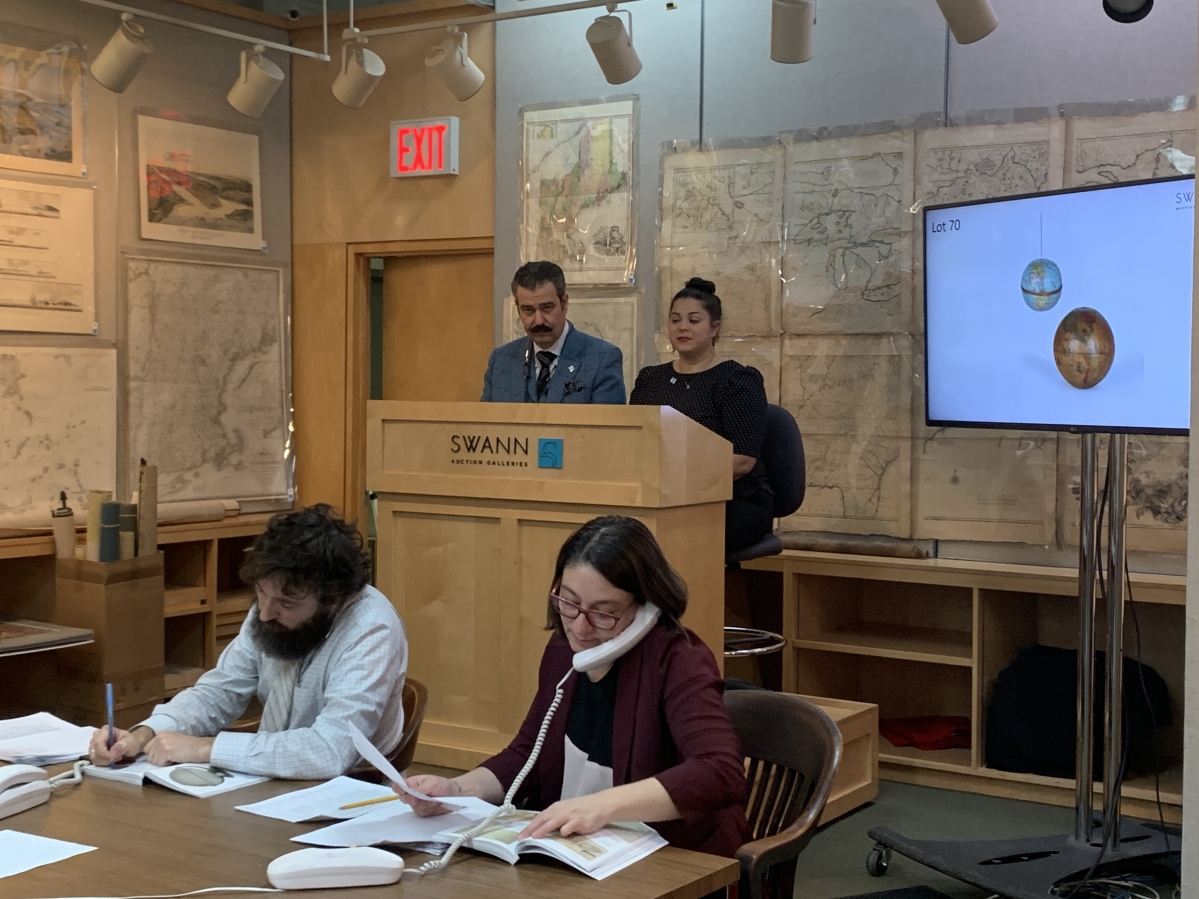
“A recent change I’ve been seeing,” Kiffer said, “is a strong midrange for maps and atlases. Last year we saw a resurgence of the midrange buyer and that trend is continuing. Statistical atlases are also strong.”
For example, an elephant folio with 16 maps by Charles Sprague Sargent chromolithographed by Julius Bien to accompany a “Report on Forest Trees of North America” sold at $1,875. This monumental effort to map the entire tree canopy of North America by noted American botanist Charles Sprague Sargent was published circa 1880 by the Department of the Interior, Census Office. Estimated at $300/500, a collector won the 28-by-19½-inch portfolio after battling against an institutional buyer.
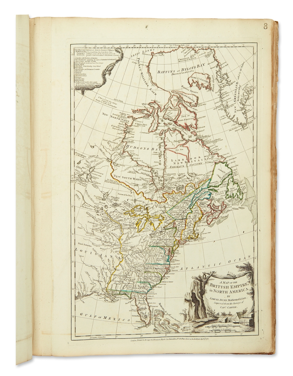
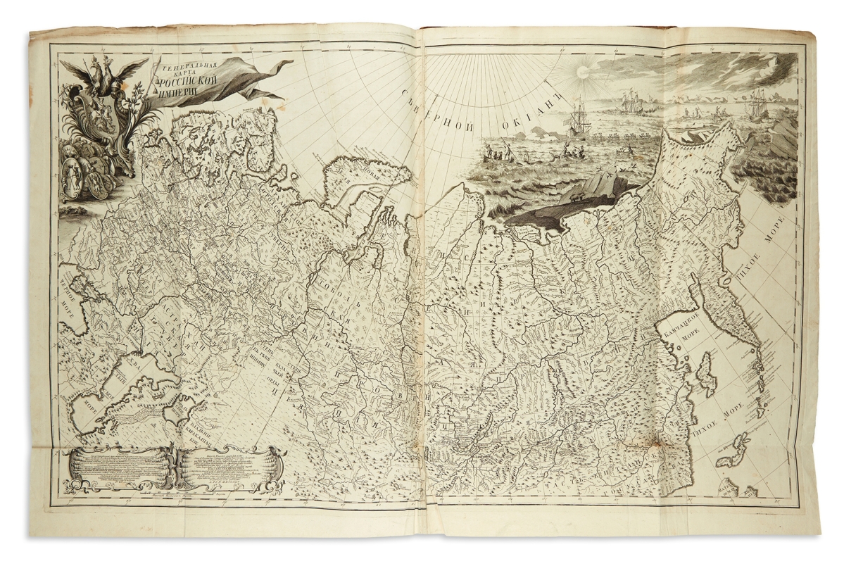
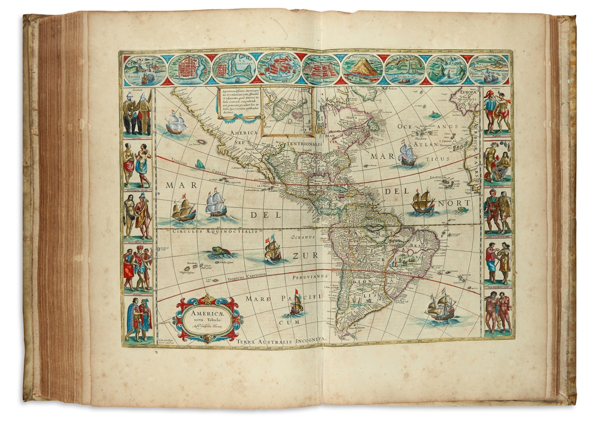
Additional atlases of note featured Thomas Jefferys’ The American Atlas: Or, a Geographical Description of the Whole Continent of America, London, 1776-77 ($20,000); Willem and Joan Blaeu’s 1658 second volume of Novus Atlas comprising of France, Spain, Asia, Africa and America ($16,250); and Joseph Nicolas Delisle’s Atlas Rossiiskoi, St Petersburg, a 1745 Russian-language edition of the first comprehensive atlas devoted to the Russian Empire ($15,000).
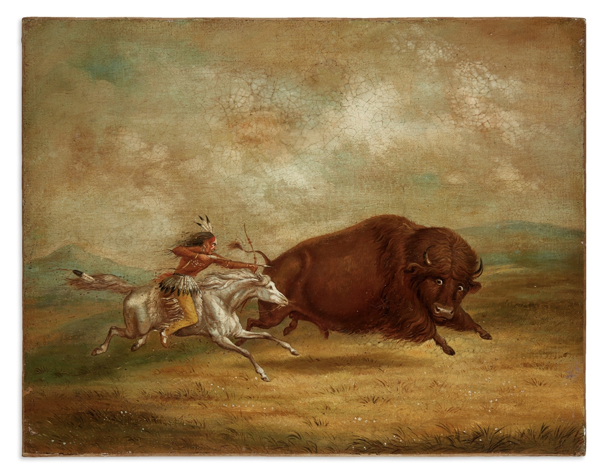
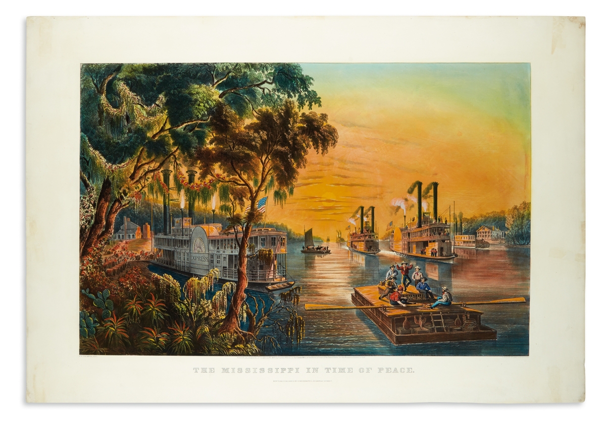
A rarely seen 1865 Currier & Ives’s large-folio hand-colored lithograph, “Mississippi in Time of Peace,” made a strong impression, bringing $21,250 over a $9,000 high estimate. Kiffer noted of the print, “‘Mississippi in Time of Peace’ has everything going for it. Unbelievably beautiful to look at, extremely rare, fantastic condition – and it’s historically significant – an aesthetically beautiful image of flatboats and paddle steamers relaxed under a glowing post-Civil War sunset.” Further historic illustrations included “Buffalo Hunt, Chase,” a Nineteenth Century oil on canvas painting after George Catlin, which sold for $9,375. This oil on Nineteenth Century canvas scene, relined to newer linen, appears in the lithographed “North American Indian Portfolio” as plate no. 5, Buffalo Hunt, Chase. “A faithful rendering of one of Catlin’s most famous paintings,” Kiffer said.
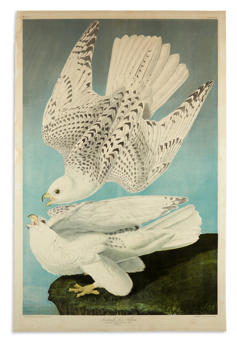
On a collection of Audubon prints, Kiffer commented, “Audubons are ever green, they have lots of appeal and collectors are very picky about them. They always do well for us, and this auction was no exception.” The top lot was John James Audubon’s Iceland or Jer Falcon, Plate 19. A chromolithographed plate from the Bien edition of Audubon’s Birds of America, 39-by-25½-inch sheet size, had wide margins, light marginal foxing, tide mark and small holes at left margin (i.e. from binding); published in New York: Julius Bien, 1860, it sold at $5,000. Cardinal Grosbeak, Plate CLIX, a hand-colored aquatint and engraved plate from Audubon’s Birds of America on [Whatman] wove paper, 21¾-by-14¾-inch sheet size; bright original colors, margins trimmed to 1¼ inches from the platemark, slight crease at upper left, London: Robert Havell, 1833, sold above its $3,000 high estimate at $4,000.
Swann Galleries closed out the decade with this marathon sale of maps and atlases, natural history and color plate books in an auction that brought $910,087 and saw a 93 percent sell-through rate. The next auction of maps and atlases is planned for May, and Kiffer said it is already shaping up to be another strong sale.
Prices, with buyer’s premium, as reported by the auction house. For more information, 212-254-4710 or www.swanngalleries.com.
