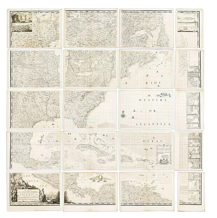
NEW YORK CITY — Henry Popple’s 1773 A Map of the British Empire in America staked out a final price of $60,000, including buyer’s premium, at Swann Galleries’ December 8 sale of maps and atlases, natural history and plate books. The first large-scale, detailed mapping of British, French and Spanish colonial possessions in North America, the large, engraved map of North America with harbor plan border panels featured an engraved key map with original hand-color in outline and 20 engraved map sheets. The firm’s winter maps auction offered a variety of material, including collectible examples by stalwart publishers Ortelius, Blaeu, Hondius, Speed and Munster as well as plate books and graphics, including works by Audubon. A later review will discuss further highlights.
